
PARTICIPATORY MAPPING
The participative mapping tool enables residents to identify specific areas of their neighborhoods in response to specific questions. This provides us with valuable information and local knowledge, which in turn allows us to develop projects and master plans specifically suited to that area of the city.
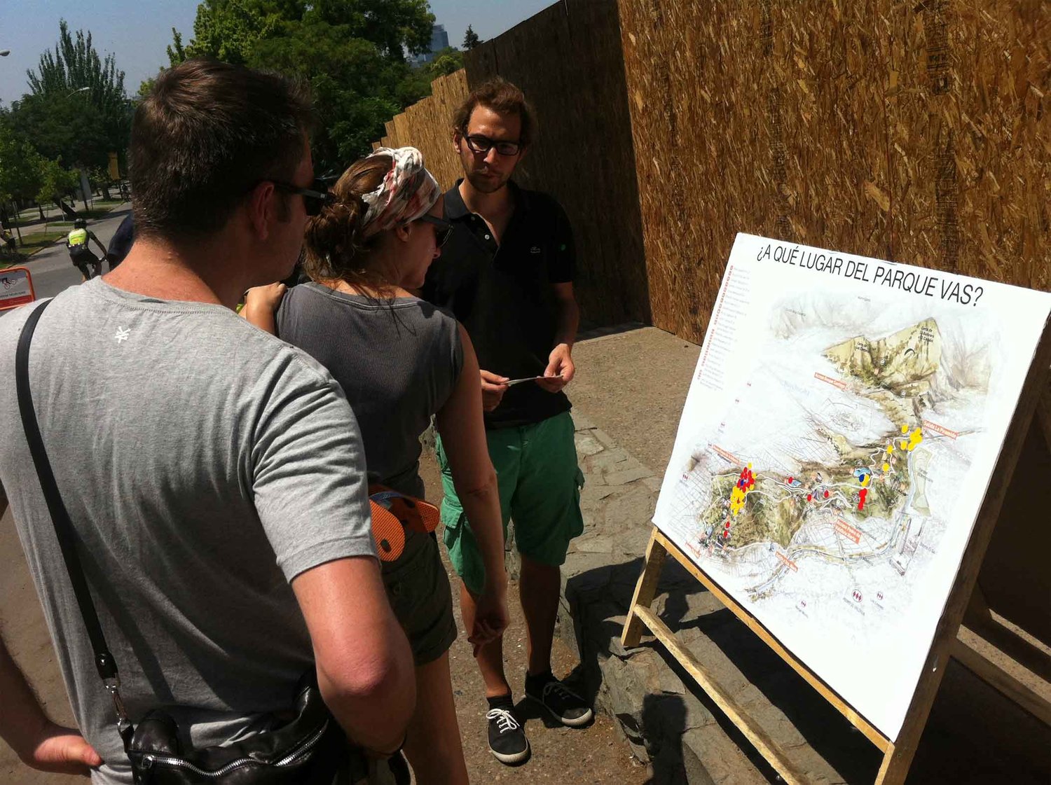

For example, these maps provide insight into existing social networks by mapping actors and/or organizations, as well as help identify the problems and opportunities for the renewal of a place.
This tool has been implemented in all of our Urban Potlucks and the Mapocho Ciudadano