What does it measure?
Deep territorial knowledge and "local know-how." It enables the precise geographic identification of social organizations, areas of perceived insecurity, heritage landmarks, and urban regeneration opportunities that often remain invisible in official municipal records.
The Insight
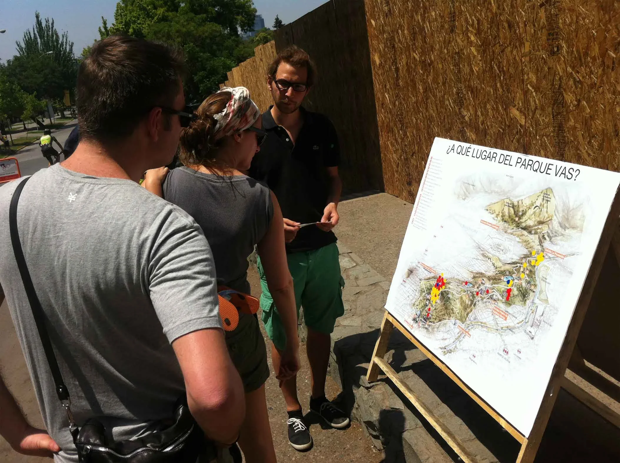
It transforms subjective experience into actionable spatial data. By aggregating these individual markers, a form of social cartography is generated that directly informs the design of master plans and neighborhood-scale projects. Quantifying the recurrence of mentions at specific locations identifies clear intervention priorities based on the lived reality of the inhabitants.
How is it applied?
A large-scale map of the neighborhood is displayed in a public space. Through a facilitator-led methodology, residents are invited to respond to specific urban questions using visual codes (stickers, pins, or drawings). Participants georeference their perceptions, allowing the community to collectively visualize its social fabric and shared environmental challenges.